


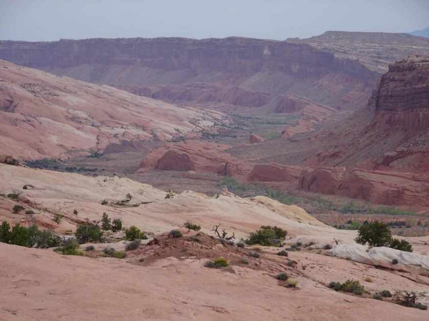
We will be climbing 2,000 feet over the Waterpocket Fold and dropping down into Stevens Canyon which connects with the Escalante River.

Although this is an alternate route for the Hayduke Trail, the original route goes over the Waterpocket Fold north at Moody Canyon but then requires hiking in the Escalante River (or pack rafting if you are willing to carry a packraft over the Waterpocket Fold…) for 25 miles.
Ray and I have hiked and packrafted in the Escalante area a number of times. We know not to hike/bushwhack/wade the Escalante River for that many miles. The Stevens Canyon alternative we are taking only requires hiking in or along the river for 1.5 miles to Coyote Gulch where you exit Escalante River on the west side.

There is an old route that goes over the Waterpocket in this area called the Baker Route. Eugene Baker was a rancher who settled in the Halls Creek area in 1919 with his sons.

I wonder about this route and have a hard time imagining herding cattle over the Waterpocket Fold. They were tough in those days. We are excited when we find “C Baker 1942” carved in a boulder along the route.

The route into Steven’s Canyon isn’t that hard but we had to pay attention in three places: a dry fall that Jamal Green refers to as “the Switchback”, a second dry fall that requires climbing a sand dune on the left side and traversing above a sandstone ledge with some exposure, and making sure we drop into the canyon at what is referred to as the “Southside Inner Exit Ramp”.

Stevens Canyon is a beautiful canyon with solitude, water, red walls and hoodoos.

And, of course, poison ivy. Luckily it is early season still and we hope that because the poison ivy is just starting to leaf out we won’t get it. Just trying to stay positive.

We hike all day and set up camp near the junction of Stevens Creek and the Escalante River. We are right below the Steven’s Canyon Arch. It glows a beautiful gold, like heated metal as we melt into our sleeping bags.
